The
Carlson Software modules for land development professionals provide very competitive alternatives to
Autodesk‘s Civil 3D, Land Desktop (retired), Civil Design (retired), Raster Design (retired), Paydirt (retired), Quest Construction and Agtek software programs.
Carlson’s desktop software must be installed with a CAD platform such as IntelliCAD, AutoCAD or embedded AutoCAD (OEM). Carlson Software includes a perpetual license of IntelliCAD with their “For CAD” modules but also allows users to install the program on top of your own separately purchased license of a full AutoCAD-based program such as AutoCAD, Map or Civil 3D.
Carlson Survey and Carlson Takeoff are the only 2 programs that can be purchased with an embedded AutoCAD (OEM) license.
ALL Carlson desktop products work natively in the latest DWG format. This means that you create DWG files, you open DWG files and you save DWG files – there is no need to import, export or convert to others using a different CAD-based program.
Your purchase of Carlson includes a perpetual license of the Carlson program and either IntelliCAD or embedded AutoCAD (OEM).
Carlson Software can be purchased as individual modules or by bundling 2 or more products at a discounted price so you only pay for what you need!
Carlson Civil Suite includes the Survey, Civil, Hydrology and GIS modules and compares to Autodesk Civil 3D.
Carlson CADnet is a single module that’s functionality is comparable to Autodesk Raster Design.
You can also use a Select Suite to build your own bundle of a Pick 2, Pick 3, Pick 4, Pick 5 or Pick 6 choosing from Survey, Civil, Hydrology, GIS, CADnet and Point Cloud Basic.
Carlson Takeoff Suite and Takeoff with embedded AutoCAD (OEM) is comparable to Paydirt (retired), Quest Construction and Agtek software programs.
All Carlson desktop software products provide a wide range of conversion and import and export functions for other file formats such as Civil 3d, LandXML, Topcon and Trimble.
For Carlson products that run with IntellliCAD and/or your separately purchased license of AutoCAD, Carlson offers users an Annual Maintenance program that keeps the software up to date. The purchase of Maintenance is optional and pricing is calculated at 10% of the retail price of the product per year.
Carlson Software offers free technical support from their main office to all Carlson Software users regardless of customer or license status.
Although users may find it difficult to install older Carlson desktop software on newer machines due to limitations of newer Windows operating systems, Carlson continues offering support for those versions.
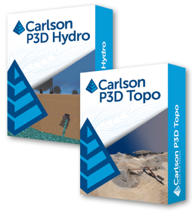
Carlson Precision 3D Topo provides surveyors, contractors, and engineers with advanced tools in a sharp 3D interface to locate and correct digital terrain model errors, ensuring the highest quality DTM surface. Integrated into Carlson Software’s revolutionary Precision 3D platform, the software combines the ease of a fully 3D environment with sophisticated engineering tools, allowing users to seamlessly integrate data from various sources and create precise 3D surfaces and hydrology-related deliverables.
Much more than 3D just as a visualization tool, the software utilizes the newest technologies to allow users to easily combine data from a wide variety of sources to create high fidelity 3D surfaces (P3D Topo) and hydrology-related deliverables (P3D Hydro).
