The
Carlson Software modules for land development professionals provide very competitive alternatives to
Autodesk‘s Civil 3D, Land Desktop (retired), Civil Design (retired), Raster Design (retired), Paydirt (retired), Quest Construction and Agtek software programs.
Carlson’s desktop software must be installed with a CAD platform such as IntelliCAD, AutoCAD or embedded AutoCAD (OEM). Carlson Software includes a perpetual license of IntelliCAD with their “For CAD” modules but also allows users to install the program on top of your own separately purchased license of a full AutoCAD-based program such as AutoCAD, Map or Civil 3D.
Carlson Survey and Carlson Takeoff are the only 2 programs that can be purchased with an embedded AutoCAD (OEM) license.
ALL Carlson desktop products work natively in the latest DWG format. This means that you create DWG files, you open DWG files and you save DWG files – there is no need to import, export or convert to others using a different CAD-based program.
Your purchase of Carlson includes a perpetual license of the Carlson program and either IntelliCAD or embedded AutoCAD (OEM).
Carlson Software can be purchased as individual modules or by bundling 2 or more products at a discounted price so you only pay for what you need!
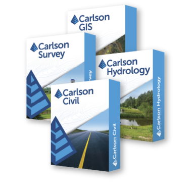
Carlson Civil Suite includes the Survey, Civil, Hydrology and GIS modules and compares to Autodesk Civil 3D.
Carlson CADnet is a single module that’s functionality is comparable to Autodesk Raster Design.
You can also use a Select Suite to build your own bundle of a Pick 2, Pick 3, Pick 4, Pick 5 or Pick 6 choosing from Survey, Civil, Hydrology, GIS, CADnet and Point Cloud Basic.
Carlson Takeoff Suite and Takeoff with embedded AutoCAD (OEM) is comparable to Paydirt (retired), Quest Construction and Agtek software programs.
All Carlson desktop software products provide a wide range of conversion and import and export functions for other file formats such as Civil 3d, LandXML, Topcon and Trimble.
For Carlson products that run with IntellliCAD and/or your separately purchased license of AutoCAD, Carlson offers users an Annual Maintenance program that keeps the software up to date. The purchase of Maintenance is optional and pricing is calculated at 10% of the retail price of the product per year.
Carlson Software offers free technical support from their main office to all Carlson Software users regardless of customer or license status.
Although users may find it difficult to install older Carlson desktop software on newer machines due to limitations of newer Windows operating systems, Carlson continues offering support for those versions.
Carlson Point Cloud allows users to efficiently register scans to local coordinates, automate field-to-finish processing of linework and symbols, and generate contours, profiles, sections, and breaklines directly from point cloud data.
This innovative software seamlessly integrates with Carlson Survey, Carlson Civil, and Carlson Mining programs, empowering users to handle extensive datasets of up to 1 billion points and produce CAD deliverables effortlessly within the familiar Carlson environment.
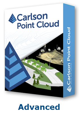
Carlson Point Cloud can be purchased with either Basic or Advanced feature offerings. Both programs are able to go from field scan to finished plat, all with seamless integration to Carlson Survey, Carlson Civil and Carlson Mining programs.
This innovative software empowers users with robust automation capabilities, effortlessly handling extensive datasets of up to 1 billion points while maintaining the intuitive Carlson interface.
With Carlson Point Cloud, users can:
- register scans to local coordinates, refine point sets through filtering or decimation, and incorporate raster images into 3D environments
- utilize edge snapping and code descriptions for automated field-to-finish processing of linework and symbols
- generate contours, profiles, sections, and breaklines directly from the point cloud data
- export comprehensive surface models, points, contours, breaklines, grids, and profiles directly to DWG files.
Delivery & Downloads
All Carlson Software purchases will be fulfilled electronically by a download link that will be emailed to you (along with your new serial number) within two business days of your order being processed. The download link and serial number can be used to install and register your software immediately.
For delivery to addresses within the United States, we can also ship you a flash drive via UPS Ground for an additional charge. Please note that the physical shipment DOES NOT include manuals.
Your box shipment will arrive approximately 14 business days after your order has been processed. Be aware that software purchases outside the United States will be fulfilled by download only. If you pay the extra charge for the physical shipment we will only provide a download link and will then refund the shipping charge.
30 Day Trials
Click here to request a 30 day trial serial number
Need pricing for upgrades, maintenance renewals or for orders of 4 or more licenses?
Click here to send us a message or click here to Request a Custom Proposal to see what we can do!